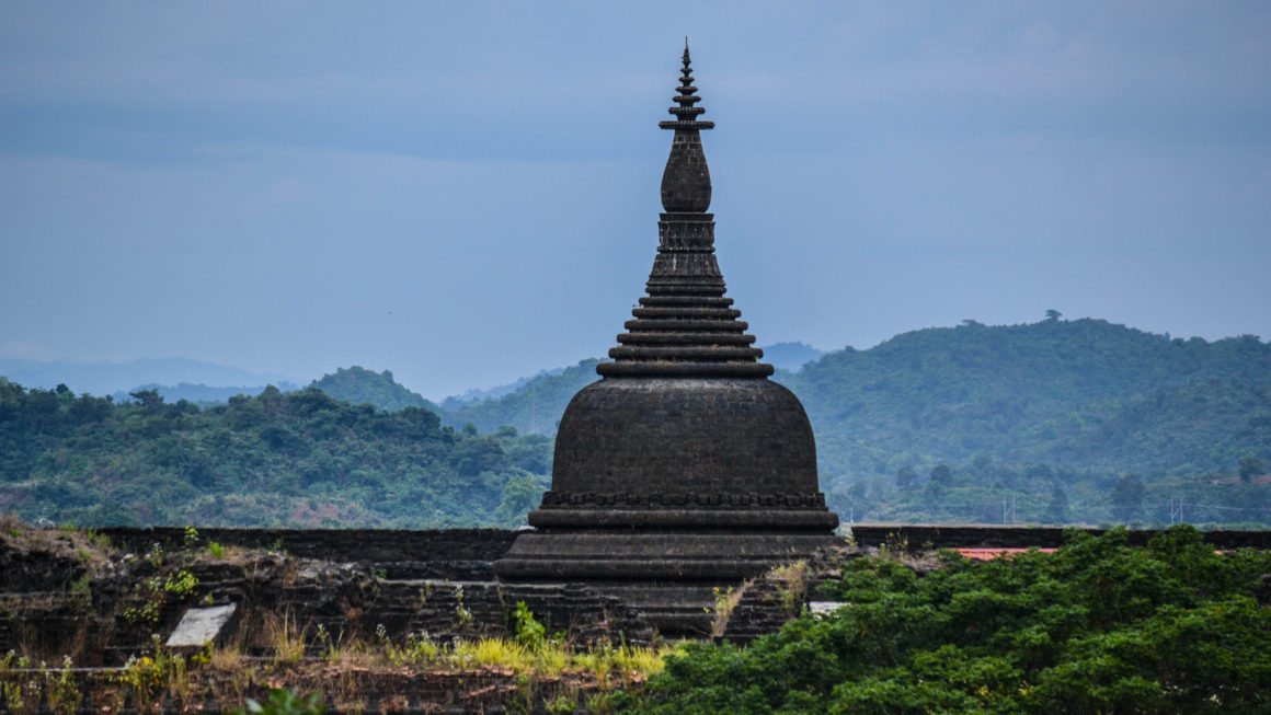
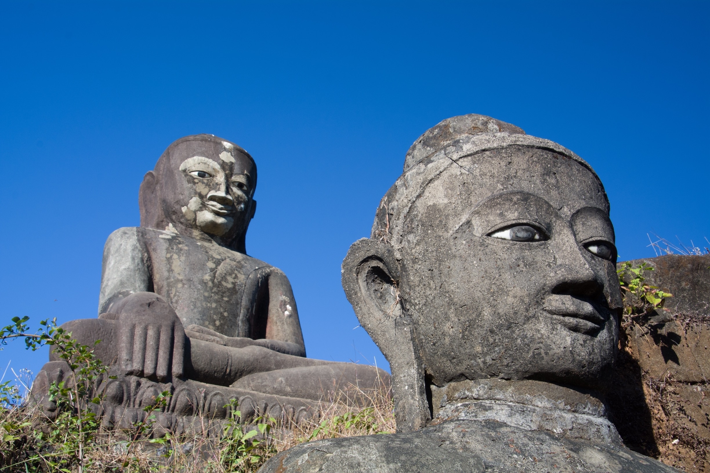
Mrauk-U District (Burmese: မြောက်ဦးခရိုင်) is a district of Rakhine State, Myanmar. Its administrative center is the city of Mrauk-U.
History
Mrauk-U District was created when it was split off from Sittwe District.
On December 28, 2023, during the Myanmar civil war (2021–present), the Brotherhood Alliance claimed they had seized the district's police station from the military junta.
Geography
Twenty-five mountains have been officially named in Mrauk-U. Kema Taung is the highest place in this district. Yulin Jung is the most prominent mountain.
Administrative divisions
Mrauk-U District is administratively divided into four townships:
- Kyauktaw Township
- Mrauk-U Township
- Minbya Township
- Myebon Township
Economy and development
According to a 2016 report by ReliefWeb, all villages in Mrauk-U District suffer from "widespread underdevelopment".
Demographics
According to the 2014 census, the district had a population of 668,634 people, of whom 310,622 were men and 358,012 were women. The district is home to multiple ethnic groups, generally split between ethnic Rakhines and Muslims, but also including minorities of Hindus, Chin, and Maramargyi. Perceived communal relations have improved in the district in recent years.
References
Bibliography
- Early Recovery Multi-Sector Assessment of Mrauk-U District - Myanmar. ReliefWeb (Report). 31 March 2016.